The government is preparing to issue a new map including Limpiyadhura.
The government in its policy and programs presented to the House on Friday had pledged to issue a new map including Limpiyadhura. Minister for Land Management Padma Aryal is preparing to present the map to the Cabinet as the issue has been included even in the policy and programs, according to a ministry source.
"The map is ready. It is only a matter of when it is taken to the Cabinet," the source confided with Setopati. "Minister Aryal will probably take it to the Cabinet soon."
Inauguration of the Indian road via Lipu Lekh on April 8 has been widely criticized by the ruling and opposition parties alike.
The Foreign Ministry has already expressed regret over the unilateral construction and urged India to refrain from carrying out any activity inside the territory of Nepal. It then summoned the Indian Ambassador to Nepal Vinay Mohan Kwatra and handed a diplomatic note conveying Nepal's position on the issue.
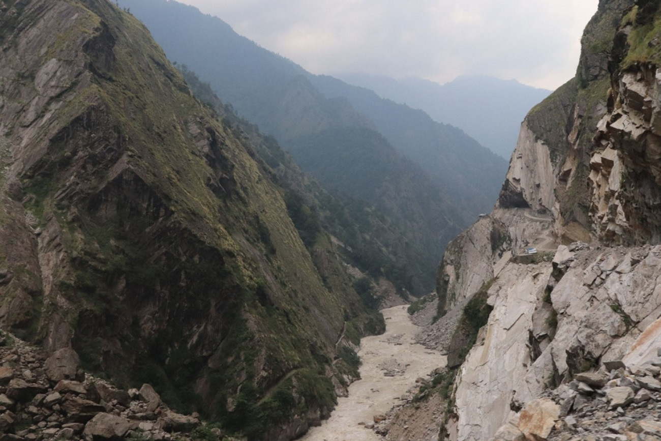
Nepal has consistently maintained that as per the Sugauli Treaty (1816), all the territories east of Kali (Mahakali) River, including Limpiyadhura, Kalapani and Lipu Lekh, belong to Nepal.
Nepal had also expressed its disagreement in 2015 through separate diplomatic notes addressed to the governments of both India and China when the two sides agreed to include Lipu Lekh Pass as a bilateral trade route without Nepal’s consent in the Joint Statement issued on 15 May 2015 during the official visit of the Prime Minister of India to China.