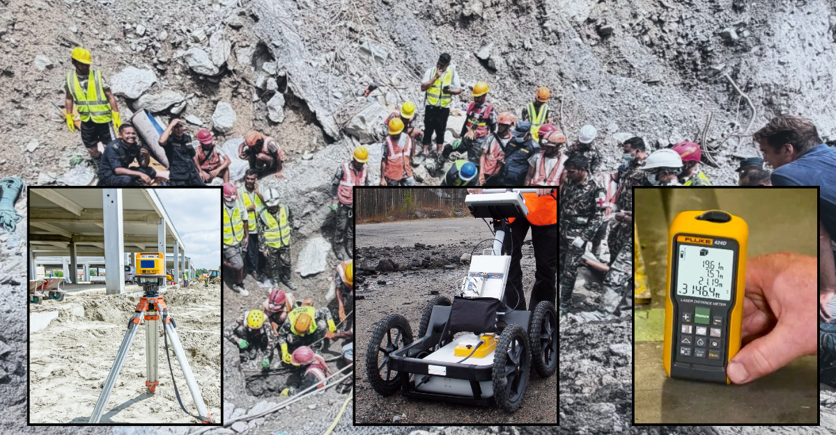
Water is not the only problem in areas affected by the Bhotekoshi-Trishuli flood at present. In some places, piles of mud, rocks, and debris have accumulated to such an extent that it is difficult to tell where houses once stood.
In some areas, only the roofs of houses are visible. In others, entire roads have disappeared. At some locations, mud and rocks have piled up to the entrances of tunnels.
In such situations, rescue workers face a single, most difficult question: What lies beneath the surface?
To find the answer to this very question, the government is preparing to use special equipment in the flood-affected areas.
In a statement issued on Friday, the Ministry of Foreign Affairs said that various technologies and equipment needed for search and rescue operations had been requested as assistance.
The equipment includes LiDAR, ground-penetrating radar (GPR), and high-accuracy laser meters.
During disasters, these instruments can assist in different ways to determine where structures are buried under mud and debris, whether people are trapped there, where to dig or drill during rescue operations, and how deep to work.
We spoke with geologist Ranjan Kumar Dahal and Deputy Inspector General Netra Bahadur Karki, spokesperson for the Armed Police Force, which is involved in the search and rescue operations, about what these three technologies actually are and how they can be used during disasters.
First, let’s talk about LiDAR.
Drones look from above; LiDAR measures the shape of the ground
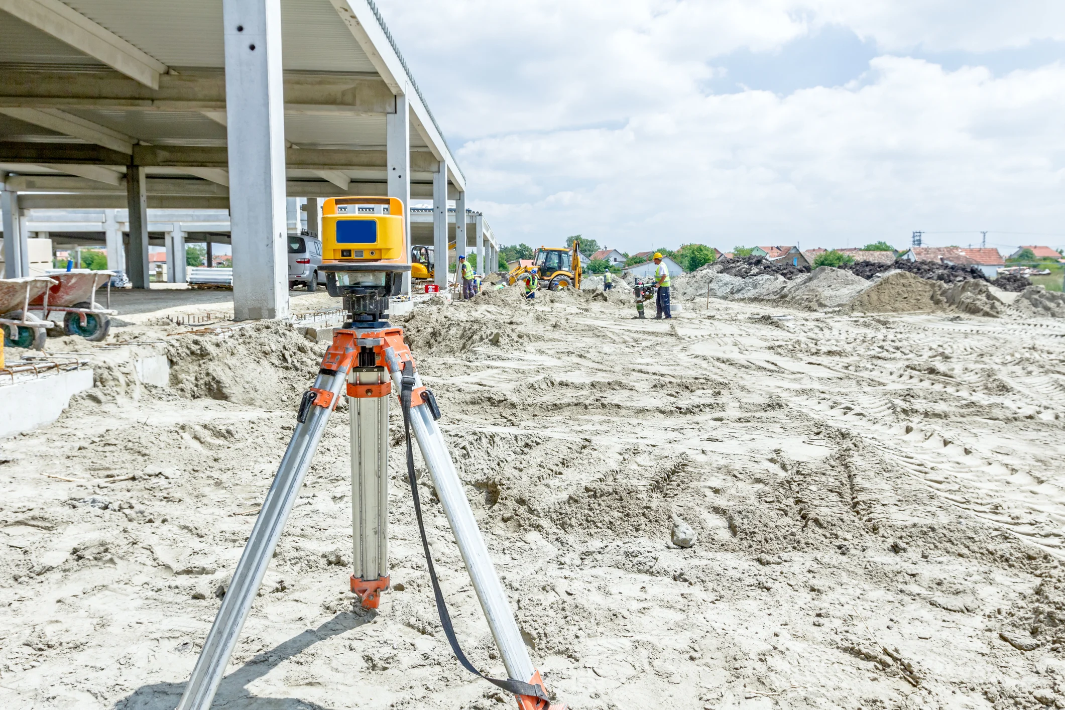
LiDAR is primarily a technology used to identify the position and structure of the ground surface and to create digital maps.
A drone can provide an initial picture of a flood-affected area. Drone images can show where houses are buried, where roads are blocked, and where large quantities of mud and silt have accumulated.
But drone images do not show everything.
If the surface of the ground appears elevated in one location, for example, how thick is the layer of mud? At what elevation was the ground before the flood? And how much material has been deposited there since?
LiDAR can help answer such questions.
By comparing LiDAR images from before and after the flood, it is possible to determine where ground has been eroded, where new soil has accumulated, and how much the terrain has changed.
Geologist Dahal says LiDAR can create a three-dimensional digital map of the ground surface.
He says it is particularly useful in areas where trees, bushes, or other obstacles make it difficult to directly observe the surface below.
LiDAR can also be mounted on drones or other aerial platforms, he said.
“When an area is scanned from above, digital information about the surface and geographical conditions of places that are difficult or dangerous for people to reach can be obtained,” Dahal told Setopati.
According to him, the technology primarily provides information about the condition and structure of the surface. Therefore, when an area has been covered by mud, debris, or other material, LiDAR can provide useful information about the shape of the surface and the location of structures.
LiDAR can be useful not only for rescue operations but also for mapping damage and planning reconstruction.
Experts say that determining where roads once existed, where the river channel ran, and how much the terrain has changed after the flood can help authorities decide where reconstruction should begin.
DIG Karki explained LiDAR's practical application with an example.
According to him, LiDAR could be useful in situations like those currently seen in the Bhotekoshi-Trishuli area, where authorities need to determine whether an office, house, or other structure has been buried beneath mud and debris or swept away entirely following a flood or landslide.
Karki said that LiDAR could be mounted on drones or helicopters to scan dangerous areas, tunnels, or locations where it would be difficult to send people directly. The resulting data could be used to digitally map where structures are located, what their condition is, and how far they extend.
“It can be mounted on drones or helicopters and sent to dangerous places or tunnels that people cannot easily access. By scanning from above, it can accurately digitally map the structure of a tunnel or geographical area and show its condition and extent,” Karki said.
He said that the technology could be particularly important when it is difficult to even determine where a structure is located after a flood.
He gave an example.
“Security personnel have already excavated the ground six times while searching for the building swept away from the Trishuli-3B Hydropower Project. But it has not been found. LiDAR can help measure from above how high the debris and mud have accumulated and determine the location of the structure,” Karki told Setopati.
GPR can ‘see’ beneath the ground
LiDAR shows the surface, but during a disaster, the surface alone is not enough.
That raises another question: What is beneath it?
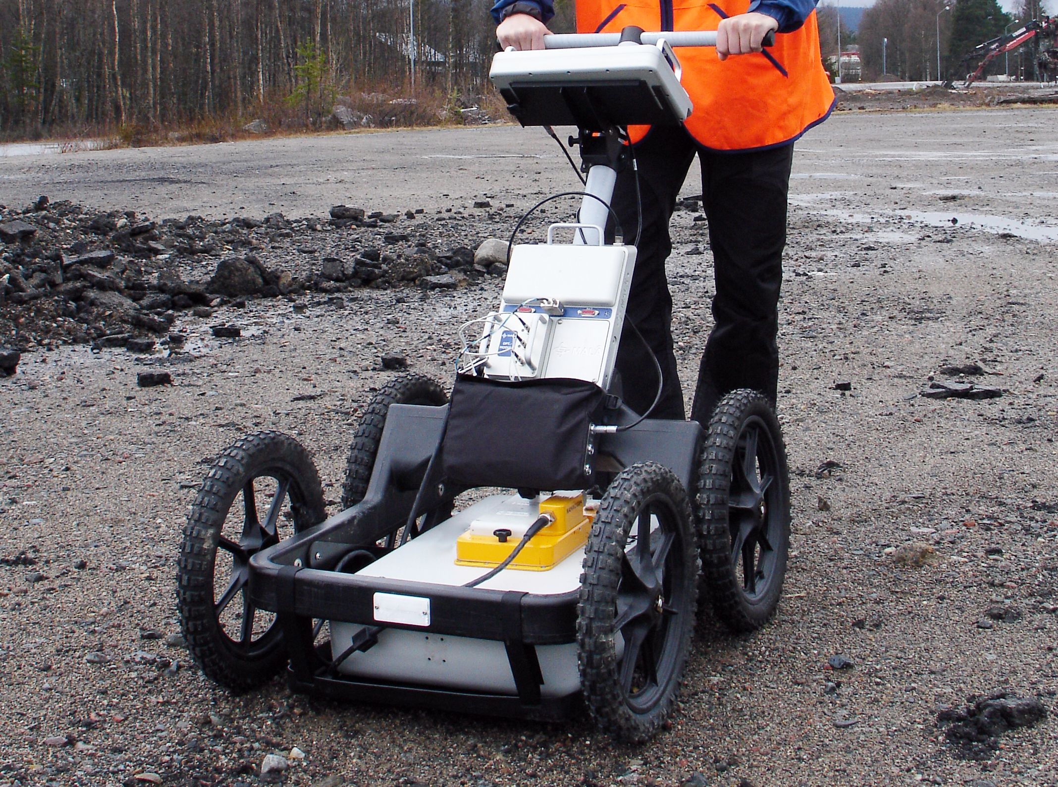
For that, the government has also requested ground-penetrating radar, or GPR.
GPR sends radar signals into the ground and analyzes their reflections to generate information about subsurface conditions. It can help identify buried structures, empty spaces, or hidden parts within piles of various materials.
According to geologist Dahal, GPR is used to determine conditions beneath the surface of the ground or other structures.
“It can send radar signals into the ground or a structure and extract information about objects, structures, empty spaces, or other layers within it. Therefore, it can be used to search for what lies beneath mud, debris, or ruins,” he said.
However, Dahal cautioned against generalizing that GPR can directly detect a person's heartbeat or breathing.
"Since radars have various types and capabilities, the specific model and frequency of the device determine its utility and capability," he said.
According to DIG Karki, while LiDAR can provide information from above about possible locations and structures, GPR can help investigate what lies beneath the surface.
He said that GPR could be used when people are trapped behind the ruins or walls of a building.
The technology could provide important indications about a person's location during rescue operations, he said.
“If someone is trapped or buried behind ruins or a wall and is unconscious, the radar can detect signals from their breathing and heartbeat from the other side of the wall or ground,” Karki said.
In other words, based on GPR signals, rescue teams could identify locations where people or other living beings may be trapped beneath debris or underground and conduct further searches accordingly.
Karki said that GPR can also help determine whether there is water or an empty space beneath the ground.
Laser meters measure, don't just estimate
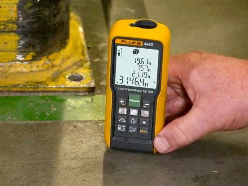
Another piece of equipment requested by the government is a high-accuracy laser meter.
The name may make it sound like a technology as sophisticated as LiDAR. But its function is relatively straightforward: accurately measuring distance, height, and terrain.
For example, it can help determine how high a pile of rocks or soil is, the distance between two structures, or how deep rescuers need to go to reach a particular section of a tunnel.
Such seemingly small measurements can be crucial during rescue operations. Decisions about where to search, how deep to dig, or which direction to enter from can be based on precise measurements rather than estimates, reducing the risk to rescuers and victims.
DIG Karki says a high-accuracy laser meter can help determine exactly where rescuers should start digging or drilling once a possible location of a trapped person has been identified.
“If GPR indicates that someone may be buried or trapped at a particular location, the rescue team may need to drill to reach them. But even moving a few inches or millimeters to either side during drilling could injure someone who is still alive inside. That is why extremely precise measurements of distance and depth are necessary before drilling,” he said.
He said that to avoid accidents during rescue operations, laser meters can be used to determine precisely how deep to work and the exact point at which to begin.
Rescue is no longer simply about searching where something is visible
Following the Bhotekoshi-Trishuli flood, the challenge is no longer limited to distributing relief and reopening roads.
In many places, the terrain itself has changed. It has become difficult to identify the former locations of houses, roads, and riverbanks. As a result, new kinds of imagery and data are needed to determine where to search, where to excavate, and where additional risks may exist.
Therefore, the government has sought assistance from donors for specialized equipment.
With search and excavation operations continuing in many locations even 13 days after the flood, security officials expect these technologies to expand the scope and improve the accuracy of search operations.
According to DIG Karki, when people or physical structures remain unaccounted for despite prolonged searches, such equipment could help determine whether there is still a possibility of life or where a structure may actually be buried.
But these technologies are not magic glasses for rescuers. They only provide additional information about places that cannot be seen directly.
The final decisions still have to be made by people – rescue teams, geologists, and personnel working at the site.
The goal of increasing the use of technology in current search and rescue operations is straightforward: to make searches more precise with technological assistance in areas that are dangerous, impossible to identify visually, or potentially buried beneath the surface.