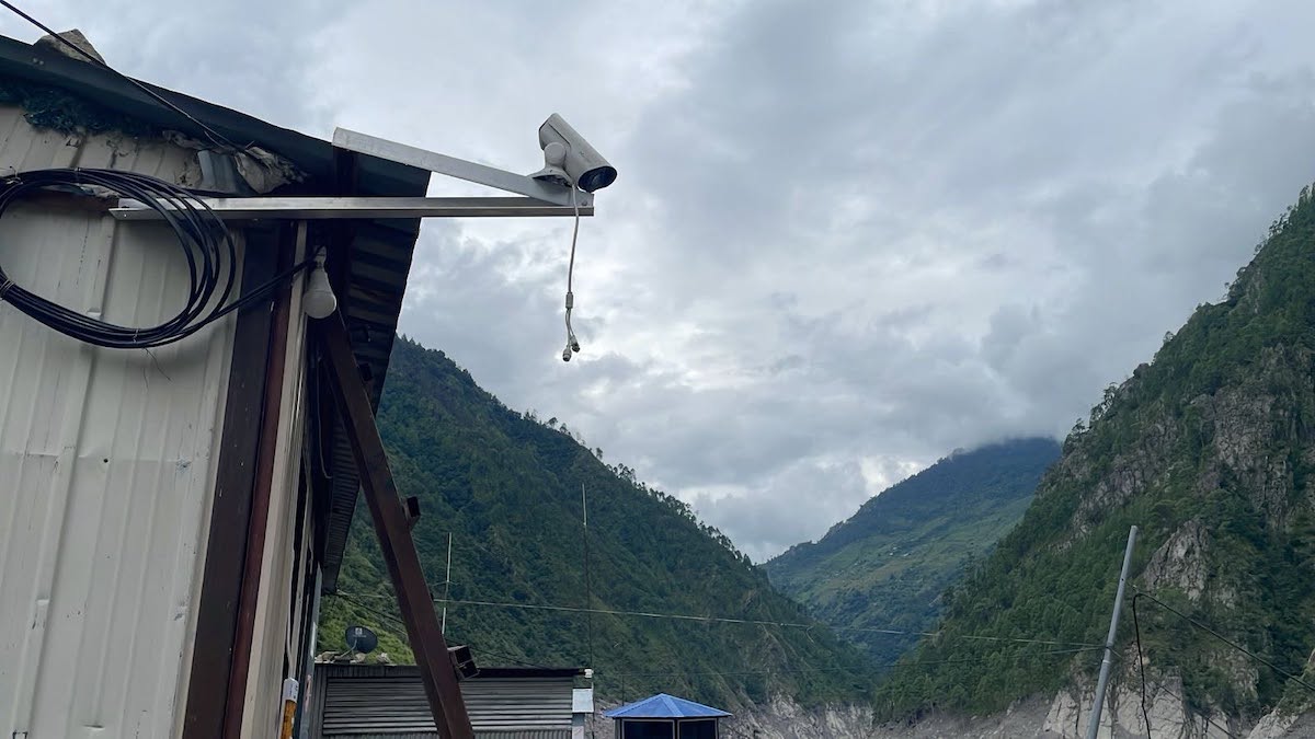
Amid criticism that the failure to provide timely warning of the massive flood triggered by an avalanche on the northern slope of Langtang Lirung eight days ago led to the heavy loss of life and property, the government has installed a VSAT camera in Timure, Rasuwa.
Residents living along the Trishuli River could not be alerted in time because the hydrological stations installed for flood forecasting were swept away before they could record information about the rising water levels.
Even afterward, authorities had to rely largely on information from human sources to assess water flows in the Bhotekoshi and Trishuli rivers. At times, they had to make do with satellite data provided by the Chinese government.
With the installation of the VSAT camera, regular monitoring of the Bhotekoshi River has become easier, said Saraswati Bista, a hydrologist at the Flood Forecasting Division.
According to Bista, the division installed the VSAT camera in Timure on Monday and began monitoring the Bhotekoshi.
“After our hydrological stations were swept away by the flood, we had no means of observing the situation there. We either issued flood alerts based on data sent by China or had to rely on information sent by people in the upper reaches that a flood had occurred,” she said. “Now that we have installed the camera, we can watch the live footage around the clock from here in Singha Durbar. We can now determine whether a flood has occurred simply by monitoring the camera.”
She said that if flooding occurs in the Bhotekoshi, images captured by the camera will make it possible to detect the situation and immediately alert residents living downstream via mobile phones.
The flood on August 26 swept away the hydrological stations at Rasuwagadhi, Syafrubesi, and Betrawati before they could collect flood-related data.
Bista said that the stations could not be immediately restored, prompting the decision to install a VSAT camera for monitoring instead.
“Installing a hydrological station requires some study and research, including determining exactly where it should be placed in the river. When we discussed the matter within the division, we concluded that we are not currently in a position to carry out all that work. Installing a VSAT camera was therefore considered easier and more appropriate,” Bista said.
Since the day after the flood, the Chinese government has been sending the Nepal government, through the Ministry of Foreign Affairs, data including VSAT and drone-view images from the Langtang Lirung area. The visuals provided by China are from around the site where the avalanche occurred.
It was China that had provided information indicating a risk of flooding due to the formation of a lake at the site where the avalanche occurred. Later, it also provided information that the lake had receded. Bista shared that China sent updates regarding the area on Thursday as well.
“China has again sent us information today about the lake that formed at the avalanche site,” Bista said. “It has informed us that the lake formed by the avalanche in the upper area is not currently posing a risk and remains in a normal condition. The soil has already been washed away and the water level has fallen. There is still some water in the lake, but there is no need to panic as there is no risk of a major flood at present.”