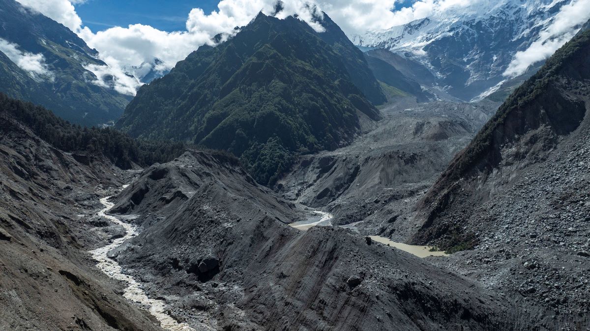
A significant change has taken place in disaster information-sharing between Nepal and China following the devastating flood of August 26.
Nepali officials say the Chinese side has begun sending Nepal daily information on weather conditions, glacier status, and glacial-lake risks in the area.
The development comes amid questions raised about the lack of timely and adequate information from China before the Bhotekoshi-Trishuli flood. Nepali authorities are now receiving regular updates.
Archana Shrestha, director general of Nepal’s Department of Hydrology and Meteorology, said that the China Meteorological Administration (CMA) has been providing daily updates since the August 26 disaster.
“We are now receiving daily weather reports. From these, we can see rainfall forecasts as well as satellite images and data showing changes in glaciers,” she told Setopati.
She said that China is also providing early warnings related to weather conditions.
The information exchange is not limited to formal channels. A WeChat group of Nepali and Chinese officials has also become a medium for sharing information regularly.
According to Shrestha, the group was created before August 26, but information was not exchanged regularly at the time.
“Previously, we only discussed how to respond when a problem occurred. After this incident, however, the Chinese side has been regularly sending us satellite images and videos and keeping us updated,” she said.
China’s state-run news agency Xinhua has also reported that China is providing Nepal with daily updates on weather, hydrology, and glaciers through a mechanism for sharing disaster-related information.
Citing the CMA, Xinhua said that Nepal has been connected to real-time services based on the Fengyun-3 and Fengyun-4 satellites.
Chinese officials said that satellite imagery is being used to monitor risks of ice-rock falls in flood-source areas and changes in river channels.
However, information sharing between Nepal and China on these issues is not entirely new.
Nepal has repeatedly urged China to immediately notify it of any unusual activity detected in or around glaciers. It has also requested regular real-time data on water levels in upstream areas.
Nepali officials have said that delays in receiving information have hampered disaster forecasting and preparedness.
These issues were also raised by Nepal at a bilateral meeting held in Kathmandu on May 27, three months before the disaster.
“Work was already underway to make information sharing more effective after that meeting when the August 26 incident occurred,” Shrestha said. “Since then, however, we have started receiving regular updates from the Chinese side. The mechanism for exchanging weather information is now active.”
Shrestha said that Nepal’s access to real-time data has also increased following recent upgrades to China’s Fengyun-3 and Fengyun-4 satellite systems.
One result of the changed information-sharing mechanism was that Nepal received timely information about two newly formed lakes in the Lirung Himal area of Langtang.
Based on information received from China, Nepal regularly monitored the volume of water in the lakes. After initially observing an increase in water levels, authorities also issued a warning.
Nepal later learned, again from information provided by China, that water was gradually draining from the lakes and there was no immediate danger.
Regular satellite images and videos from China have now also helped identify another unusual change in the Langtang Himal region.
Lake beneath ice reappears
A lake in the upper part of the Lirung Himal area of Langtang, which had previously been covered by ice, has now begun to become clearly visible again, according to Bikram Shrestha Juwa, deputy executive director of the Center for Hydrology and Water Resources Research.
He said this is different from an ordinary glacial lake visible on the surface. Technically, it is known as an “englacial lake.”
“It appears that there was once a glacial lake at that location. As the water level decreased over time, the area became covered with ice and from the outside it began to look like a pile of ice,” he said. “But new images and videos show that the lake has become clearly visible again.”
Juwa said that it is too early to determine how old the lake is, how much water it contains, why it has reappeared, or whether it has any connection with the August 26 disaster.
“We do not yet have detailed information about this lake. Further study is needed,” he said.
Juwa said that the change in the Langtang area was noticed through regular monitoring of satellite images and videos of glaciers and surrounding terrain that the Chinese side has been sending through the WeChat group.
“Such images, videos, and daily updates have made it easier to closely understand changes taking place in the Himalayan region,” he said.
Nepal and China do not yet have a formal agreement governing this type of information sharing. Officials said that preparations for such an agreement are underway.