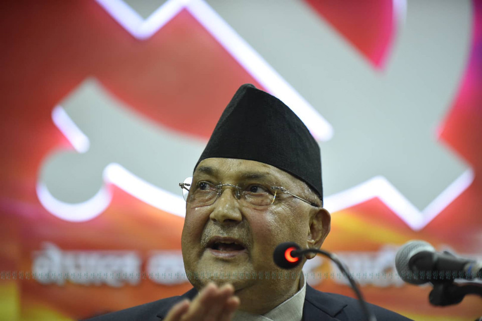
Prime Minister (PM) KP Sharma Oli has invited parties in the federal parliament for consultation about inclusion of Lipu Lekh and Kalapani of Nepal in the new political map published by India.
PM's press advisor Kundan Aryal said Oli has invited leaders of the main political parties at four Saturday afternoon at his residence in Baluwatar. "The government has already made its position on the new Indian map clear. Opposition parties have also been making their position clear. PM will consult with all parties about how to move the relationship with India forward in accordance to time," Aryal told Setopati.
He revealed that former foreign ministers from all parties have also been invited for consultation.
The main opposition party Nepali Congress (NC) on Thursday had urged everyone to rise about partisan interests and form common position on such an important issue, and stressed that the government should be capable of finding a resolution to the problem through diplomatic channel representing such united position.
The inclusion of Lipu Lekh and Kalapani of Nepal in the new political map published by India has been widely condemned with the ruling and opposition parties alike protesting the Indian act
The ruling CPN and Socialist Party Nepal, the main opposition Nepali Congress (NC), Sajha Party Nepal and RPP have all protested the new Indian map. NC's sister organizations Nepal Tarun Dal and Nepal Students Union (NSU) and the student wing of CPN ANNFSU have been staging demonstrations since Wednesday protesting the Indian map.
The government has already stated that Nepal does not accept the map issued unilaterally by India. "The Nepal government is clear that Kalapani area is part of Nepal," the Foreign Ministry said issuing a statement on Wednesday. "It is clear that outstanding border issues between the two countries should be concluded with bilateral consensus, and any decision taken unilaterally will not be acceptable for Nepal government."
The ministry stressed that border disputes between the two friendly neighbors should be resolved through diplomatic channel on the basis of historic documents and evidence.
Government Spokesperson and Minister for Communication and Information Technology Gokul Baskota on Thursday elaborated on the historic evidence on Thursday pointing that Nepal conducted a census in the area in 2018 BS and has historical evidence proving Nepal collected tax from the surrounding areas in the past. "That shows that the land was in Nepal's control in the past for one cannot go to another country and conduct census and establish revenue offices," he argued.
The Indian government, meanwhile, has said it is committed to finding a solution to border disputes with Nepal through dialogue.
Responding to a question about the outrage against Indian in Nepal over inclusion of Lipu Lekh and Kalapani of Nepal in the new political map published by India and the Indian government's response to the statement issued by the Nepali Foreign Ministry on Wednesday during the weekly media briefing on Thursday, Spokesperson at the Indian Ministry of External Affairs Raveesh Kumar claimed that the new map does not change the Indian borders with Nepal in any way.
"Our map accurately depicts the sovereign territory of India. The new map has in no manner revised our boundaries with Nepal," he stated. "The boundary delineation exercise with Nepal is ongoing under the existing mechanism. We reiterate our commitment to find a solution through dialogue in the spirit of close and friendly bilateral relationship."
He also hinted that the current uproar in Nepal may have been stirred by some vested interests and called for a need to guard against such interests. "I think this is very important to note, that both sides should guard against vested interests who are out there to create some differences between the two countries."