A total of 277 plots of land have been identified and recommended for the resettlement of families in Rasuwa, Nuwakot, and Dhading who were affected by the flood in the Bhotekoshi River and have no other place to live.
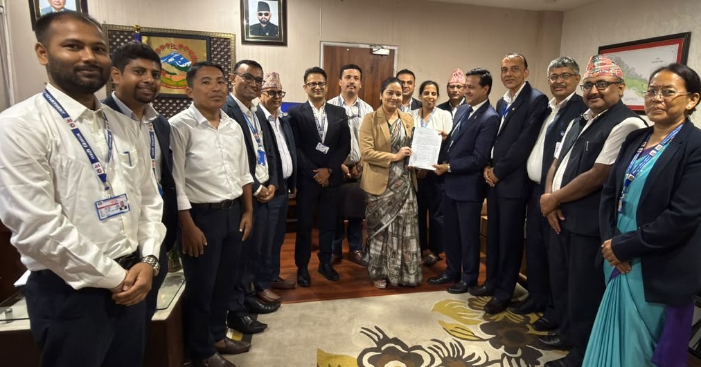
A central committee formed by the Ministry of Land Management, Cooperatives, Federal Affairs, and General Administration conducted a study and submitted a report to the ministry identifying potential land for resettlement.
According to the committee, the 277 identified plots cover a total area of 3,279 ropanis and 2 paisas. By district, 177 plots were identified in Rasuwa, 94 in Nuwakot, and six in Dhading.
In terms of area, the largest share is in Nuwakot with 2,665 ropanis, 6 aanas, 1 paisa, and 1 daam, according to the report. This is followed by Rasuwa with 591 ropanis, 9 aanas, 1 paisa, and 2 daams, and Dhading with 22 ropanis, 3 paisas, and 1 daam.
The identified land includes government and public land as well as private land and land under forests, the Nepal Electricity Authority, government schools, irrigation facilities, and national parks. The committee’s study shows that a large share consists of government and forest land.
The committee has recommended giving first priority to locations that are safe for resettlement.
The report states that families should not be resettled in areas with high natural risks, even if those areas are close to their former settlements. It recommends that final decisions be made only after further social, economic, technical, environmental, and community-level assessments of the identified areas, along with consultations at the local level.
Potential resettlement areas were identified using GIS data from various government agencies for land recommended by local governments for families affected by the flood who have no alternative place to live. The suitability of the potential sites was assessed by comparing available records and disaster-risk conditions with field observations.
The committee has recommended that resettlement not be treated merely as a program to provide land for building houses. Instead, it has called for plans to develop integrated settlements with basic infrastructure such as roads, drinking water, sanitation, electricity, schools, health facilities, communications, and open spaces. The report also states that the affected families’ social, religious, and cultural practices, as well as their traditional way of life, should be incorporated into resettlement plans.
The committee has said that non-forest and non-protected areas should be prioritized based on land availability. Only if such land is unavailable should the use of forest or protected areas be considered, and the process should proceed only after amending the relevant laws or establishing special legal provisions, according to the recommendation.
Following flooding in the Bhotekoshi River area of Rasuwa on August 26, a ministerial decision on September 7 formed a central committee coordinated by Prakash Joshi, director general of the Department of Survey, to identify land needed to resettle affected families and submit a report.
The committee includes representatives from the Ministry of Home Affairs, Ministry of Federal Affairs and General Administration, Ministry of Infrastructure Development, Department of Land Management and Archive, Department of Survey, Department of Forests and Soil Conservation, Department of Mines and Geology, Department of Water Resources and Irrigation, and other agencies.
The committee was tasked with determining the number of flood-affected families with no alternative place to live, identifying land required for resettlement, conducting field studies and preliminary disaster-risk assessments of identified sites, and recommending the legal procedures and measures necessary to use the land. It was also tasked with coordinating with the federal government, provincial governments, local governments, and relevant agencies to identify and search for suitable land for resettlement and make recommendations.