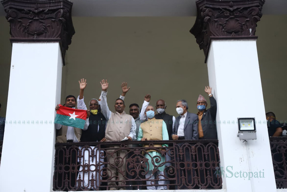
Janata Samajwadi Party formed after unification of Rastriya Janata Party (RJP) and Socialist Party Nepal will support the amendment bill to change the map of Nepal in the coat of arms in the Constitution to implement the new map.
RJP lawmaker Laxman Lal Karna and Socialist lawmaker Rajendra Shrestha speaking during the deliberation in the House of Representatives (HoR) on Tuesday have said their party will support amendment.
Pointing that there are internal and external aspects of nationalism, Shrestha stressed that there will be no compromise with anyone on the issue of national independence and territorial integrity. He stated that the amendment proposed by the government should be supported and pointed that the river flowing from above Limpiyadhura is the Kali river.
Karna took exception that the party has been doubted on the issue of nationalism and urged everyone to not not slant the party on the issue of nationalism and territorial integrity. He also argued that the issue of map should be resolved diplomatically and added that discussion should be held on the issue of Mahakali Treaty and the 1950 Treaty.
Support of the Madhes-based parties means that the bill is likely to be passed unanimously with the main opposition Nepali Congress already supporting it.
Deliberation on the bill started Tuesday afternoon. Law Minister Shiva Maya Tungbahamphe had presented the bill to the House on May 31. The bill was then published in the Nepal Gazette for information of the people. The parliament secretariat also published it in Gorkhapatra daily.
The government registered the Constitution amendment bill to amend the schedule of the Constitution, wherein the map in the coat of arms does not include the territory including Limpiyadhura, to implement the new map.
Constitution amendment requires two-third majority of the House.
The government on May 20 published the new map including Kalapani, Lipu Lekh and Limpiyadhura. The territorial area of Nepal has increased by 335 square kilometers with inclusion of the territory up to Limpyadhura.
The government on May 18 passed the new map including Kalapani, Lipu Lekh and Limpiyadhura after inauguration of the Indian road via Lipu Lekh on May 8.
The Foreign Ministry has already expressed regret over the unilateral construction and urged India to refrain from carrying out any activity inside the territory of Nepal. It then summoned the Indian Ambassador to Nepal Vinay Mohan Kwatra and handed a diplomatic note conveying Nepal's position on the issue.
Nepal has consistently maintained that as per the Sugauli Treaty (1816), all the territories east of Kali (Mahakali) River, including Limpiyadhura, Kalapani and Lipu Lekh, belong to Nepal.
Nepal had also expressed its disagreement in 2015 through separate diplomatic notes addressed to the governments of both India and China when the two sides agreed to include Lipu Lekh Pass as a bilateral trade route without Nepal’s consent in the Joint Statement issued on 15 May 2015 during the official visit of the Prime Minister of India to China.

